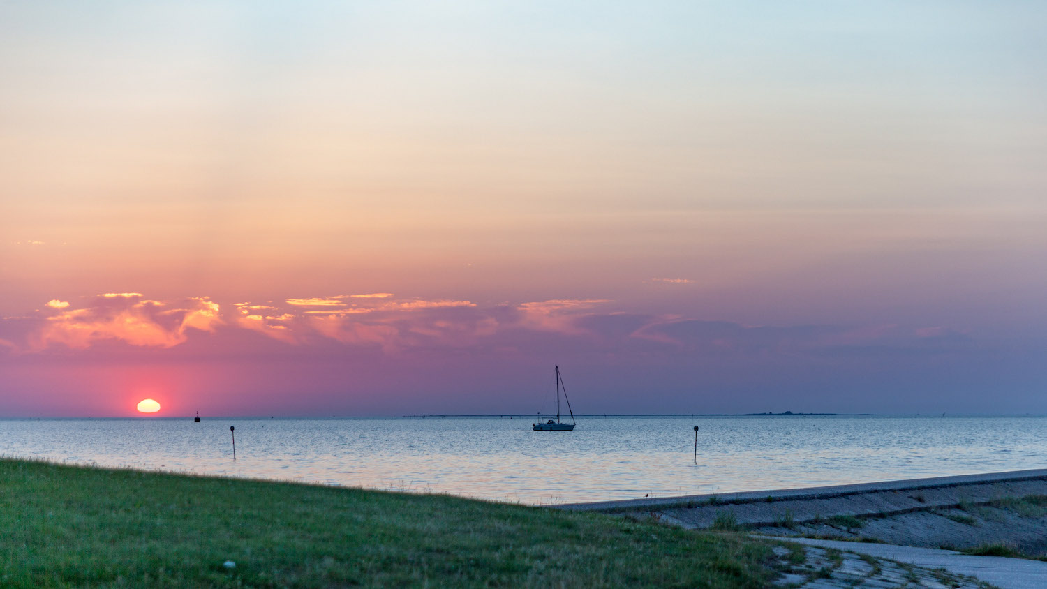
Here, where the sky meets the sea,
you’re in the best spot…
you’re in the best spot…
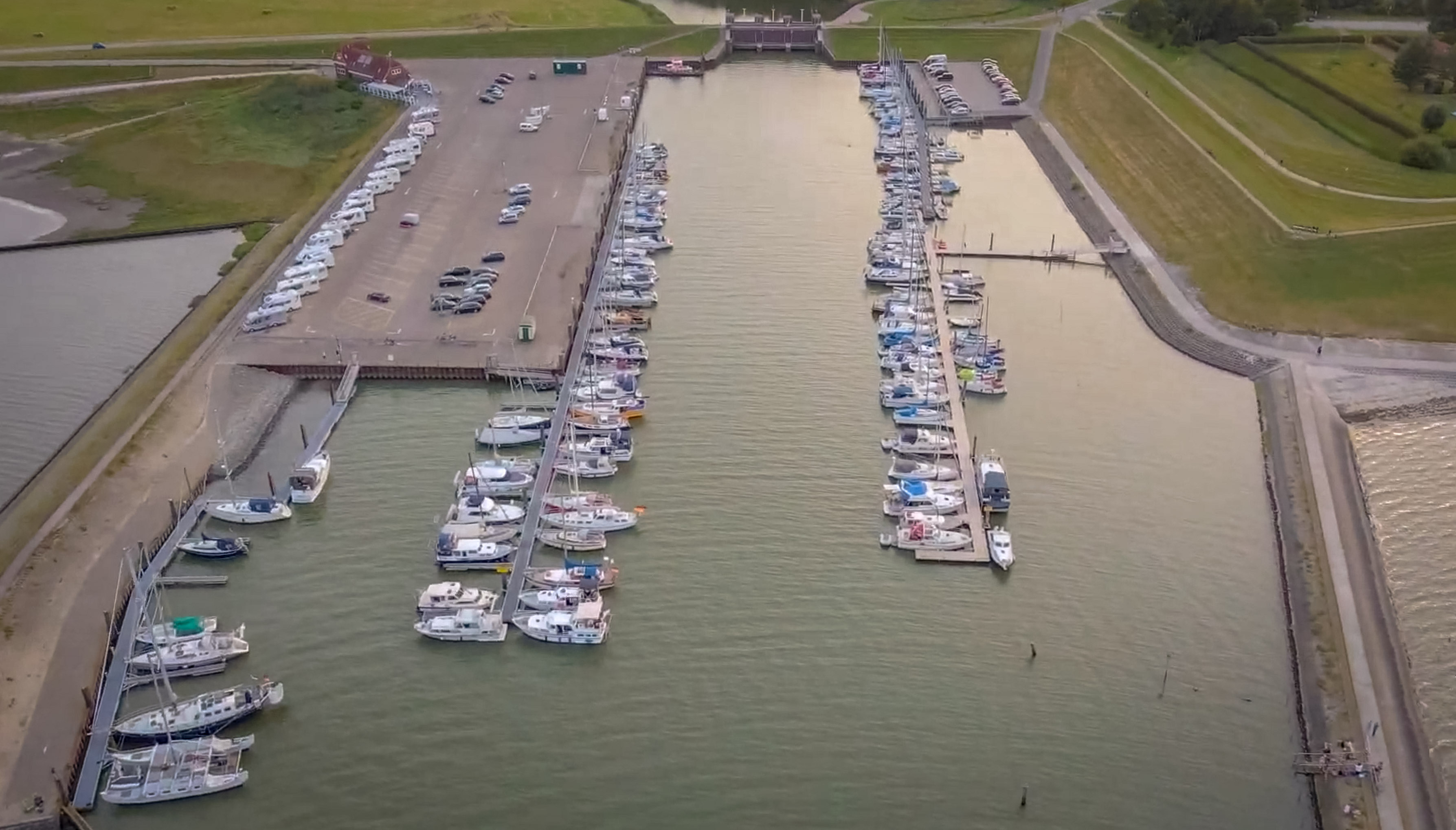
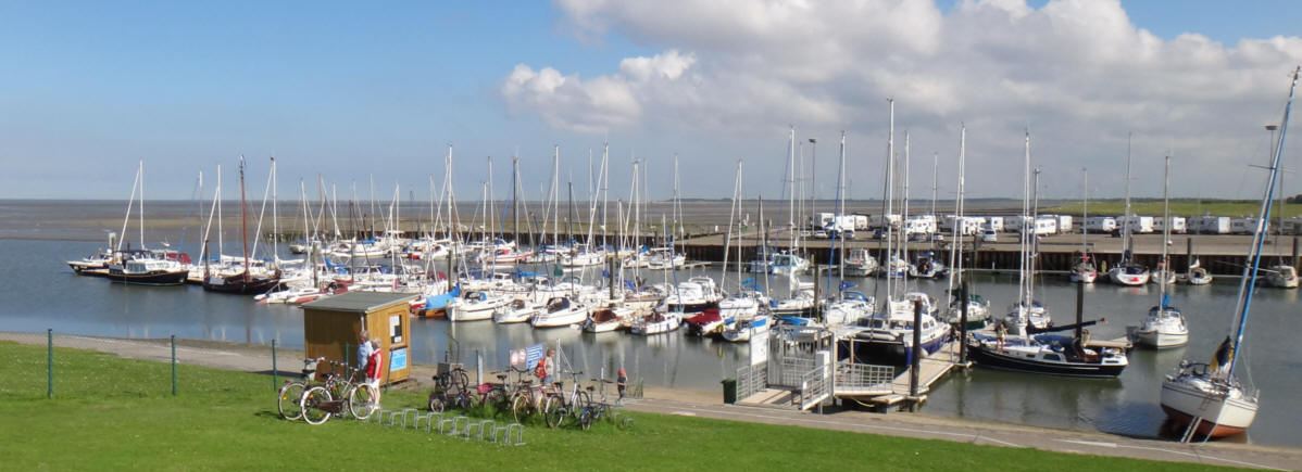
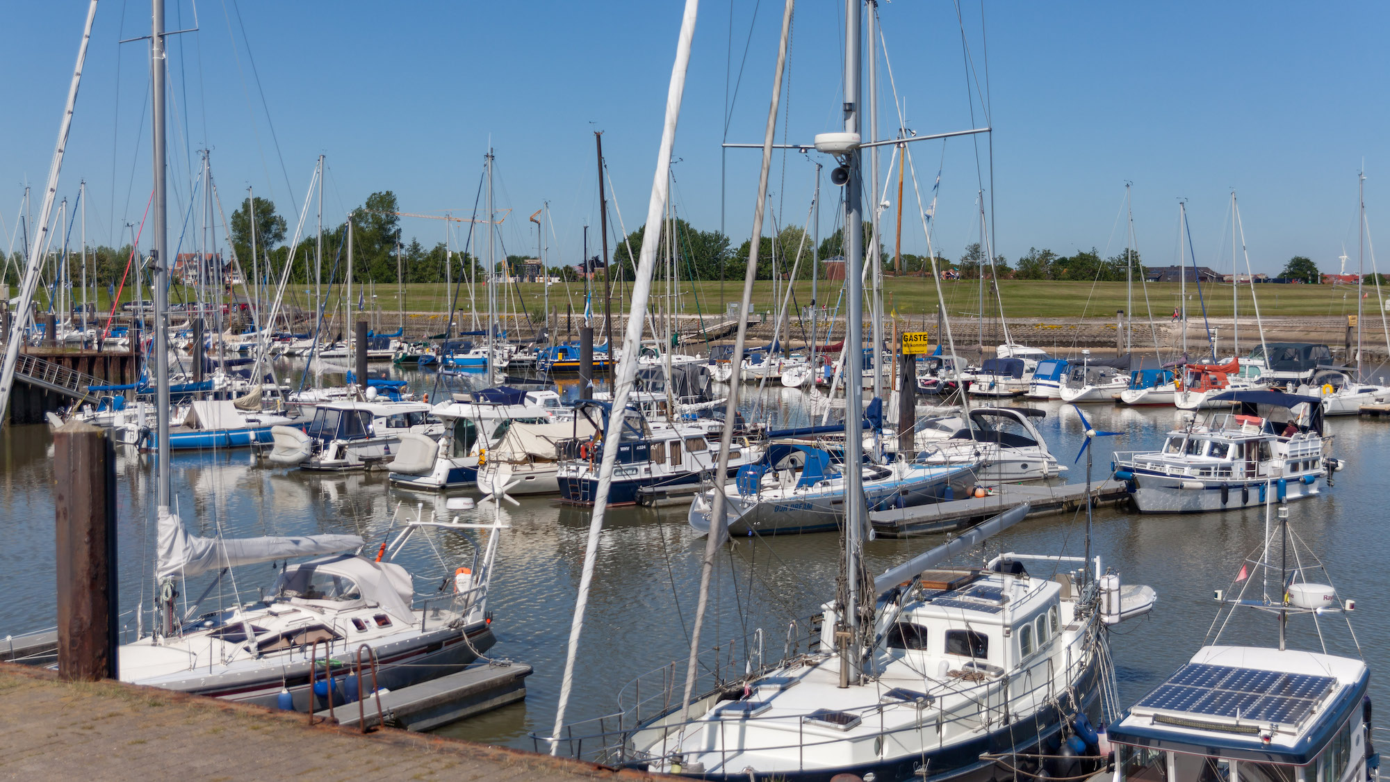
Horumersiel Marina (also referred to as Wangersiel on some maps and by people unfamiliar with the area) is situated on the outskirts of the North Sea spa resort of Horumersiel-Schillig, in a sheltered bay.
As well as the Horumersiel Yacht Club (HYC), the Segelkameradschaft Horumersiel (SKHS) and Yacht Club Wangerland (YCW) are also based here with their jetties.
You can moor at the HYC jetty at any of green marked berths. The area by the sheet pile wall on the south-westerly side of the harbour is required by commercial shipping, and the DGzRS sea rescue service, and should be kept clear under all circumstances.
Most berths in Horumersiel Marina fall dry at low tide, but even deep keel-bottomed boats have no problems at low water, as the seabed consists of soft silt.
To the north of the jetty, 200 metres away along the beach, there are relatively new and very well-maintained toilet facilities.
In the southern harbour car park, there are further toilet facilities (night-time access by code only) and a fish snack bar ‘Käptn’s Fischhuus’.
Local crab fisherman Sven Kaiser regularly sells fresh crabs (current dates: search for ‘Krabbenkutter-Odin-HOR-8’ on Facebook)
MV ‘Jens Albrecht’ sets sail several times a day for sightseeing tours (https://www.seetouristik-nordsee.de)
For RVs and motorhomes there are around 30 pitches with sea views, electricity and water connections. A disposal point for chemical toilets can be found directly behind ‘Kapt’s Fischhuus’
You’ll find us right in the middle:
between the East Frisian Islands, Heligoland, Wilhelmshaven and Bremerhaven.
Thanks to our proximity to the East Frisian Islands, we generally enjoy island weather :)
The lit red buoy W2 (53°41.50'N – 008°03.18'E, Fl.R.4s), which lies just under one nautical mile west of Jade Buoy 31, serves as a guide to the harbour.
From buoy W2, the harbour is reached via the Wanger Outer Channel (Wanger Außentief).
The channel has beacons on its northern side, on the starboard side as you enter (broom pointing downstream – green).
For those unfamiliar with the area:
Yachts with a draught of up to 1.50 m may pass through the Wanger Outer Channel up to half tide.
Yachts with a draught of up to 2 m should arrive around the hour of high tide… the distance from W2 to the harbour via the Wanger Outer Channel (Wanger Außentief) is 1.29 miles; please bear this in mind.
2026: due to the wetter winter and the resulting drainage of the hinterland, the sandbar off the entrance to the Wanger Outer Channel has decreased to a height of around 60 cm.
The Wanger Outer Channel is around 60 metres wide at the entrance; it widens slightly in a broad arc before narrowing again before the sharp right-hand bend. After the right-hand bend – which should be rounded on the outside rather than the inside – it is only around 30 metres wide; there, the otherwise steep northern mudflat edge has become slightly flatter – so do keep a safe distance from the buoys.
Also, before entering the harbour, be sure to follow the buoys – even if it feels strange – they’re not there for nothing: don’t cut across!
Attention inflatable boat users: on the approach and in the area of the right-hand bend, there is an extensive oyster bed to the west, just outside the buoys. Don’t cut across there either!
As a rule of thumb for standard boats suitable for mudflats: if the base of the former underpass (2.5 cables west of the entrance) is surrounded by water, then it should be fine.
The mean tidal range in the harbour is 3.30 metres.